Free Shapefiles of Countries of the World (3)
This is part three of the comparison of free shapefiles of countries of the world. After feedback, new sources, blogs and tweets (thanks everyone) on my previous blogs (part 1 and part 2), I decided to show some things more.
Edited: Note that part 4 handles an additional shapefile, referred as 13 here.
Let's now look at the north of Italy, where several countries are situates: Italy itself, France, Switzerland, Austria, Germany, Slovenia, Croatia, and some very small countries:
- San Marino
- Liechtenstein
- Monaco
- Vatican City
Vatican City
With respect to Vatican City, all shapefiles that I found are wrong. Below an image created with Google Earth showing boundaries. The yellow one is Google's, so not from a shapefile. It is accurate. I really want a shapefile with Google's country borders! Didn't found it until now, even not in KML-format. All others displayed, 3, 5, 6, 7, 9 are not accurate, but acceptable. I know that Vatican City is a very small country, that on a worldscale map you could not expect too much detail, so it might make sense that they display the country border only roughly. So these are all reckoned sufficient... with respect to the requirements, see more about that below.
But I was really amazed by the other ones, in the zoom out below. Those (1, 2, 8, 12) are all wrong. (Remember that all numbers refer to numbered sources from previous blog, completely listed below). About 1: we already knew that it was far too rough, and it is actually understandable: it exaggarates small countries to show them on a worldscale map. Understandable. But 2, 8 and 12 are completely wrong. Especially from 12 (source: eurostat, europa.eu) you would not expect this. What has happened here...

Some sources (4, 11) do not have Vatican City at all.
Monaco
For Monaco it is a little better, in the sence that countries are not moved by 24 kilometers. But most shapefiles are more or less wrong, 12 being the only exception.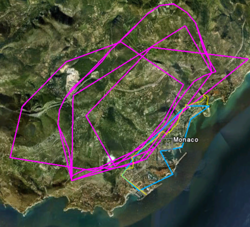
The Yellow line is Google again, and 12 is the cyan one following it. All the rest is wrong.
Liechtenstein and San Marino
The other small countries, San Marino and Liechtenstein, are both
displayed more or less acceptable in all but 1, 2 and 8 (all omitted in
the pictures - 8 is for Liechtenstein OK). Number 12 (cyan) also here
follows Google the most closely.
Based on this pictures, 12 (from Eurostat) is following Google's country borders the most closely, with an amazing exception being Vatican City, where it is totally wrong. The rest of the sources shows not a real winner here.
Elba
Not a country, but also compared, the island Elba is another sample where the vertices of source 12 (Eurostat) follow the borders of the island quite closely. Cyan is the 3M version, blue the 10M, darker (and paler) blue the 20M. In the 60M version Elba is omitted. I agree with this all. The other borders, magenta here below, are all worse. And I omitted 1,2 and 8 here because they are even more wrong.
Requirements
In the last two blogs I made remarks about the quality, but I didn't really listed them as formal requirements. So let's start with that now. They are composed on the fly, and maybe a bit subjective, I know that.- NL1: The five inhabited islands in the Waddensea in the Netherlands should be present
- NL2: The inner lake in the Netherlands should be included
- NL3: The polders in the Netherlands should be visualized correctly, so absence of non-existing polders and presence of polders existing since 1968 (sometimes you have to make requirements quite explicitly...)
- CS1: The Caspian Sea should be there
- DB1: Countries should be one multi_polygon per country, not separate polygons
- DB2: All (multi)geometries should be valid within SQL Server 2008
- DB2: All (multi)geometries should be valid within PostGIS
- SM1: Vatican City should not be moved and (probably) not be omitted
- SM2: Monaco's borders should follow real borders
- SM3: San Marino's borders should follow real borders
- SM4: Liechtenstein's borders should follow real borders
- SM5: Elba's borders should be followed
In the table below the requirement list is crossed against the shapefiles.
| # | NL1 | NL2 | NL3 | CS1 | DB1 | DB2 | DB3 | SM1 | SM2 | SM3 | SM4 | SM5 |
| 1 | OK | OK | - |
OK | OK | 1 | 1 | Enlarged | Enlarged | Enlarged | Enlarged | Very poor |
| 2 | OK | OK | - | OK | OK | 4 | 4 | 26 km off | Very poor | Very poor | Sufficient | Very poor |
| 3 | OK | OK | OK | OK | OK | 34 | 5 | Sufficient | Poor | Sufficient | Good | Sufficient |
| 4 | OK | OK | - | polygons | OK | 1 | 6 | Omitted | Poor | Sufficient | Sufficient | Poor |
| 5 | OK | OK | - | OK | OK | 5 | 4 | Sufficient | Poor | Sufficient | Sufficient | Poor |
| 6 | 2 | OK | - | - | OK | 3 | OK | Sufficient | Poor | Sufficient | Sufficient | Poor |
| 7 | 2 | OK | OK | - | OK | 2 | 7 | Sufficient | Poor | Sufficient | Sufficient | Poor |
| 8 | 2 | OK | - | OK | OK | OK | OK | 26 km off | Poor | Poor | Sufficient | Very poor |
| 9 | OK | - | - | OK | OK | 17 | 9 | Sufficient | Poor | Sufficient | Sufficient | Sufficient |
| 9b | OK | - | - | OK | OK | 3 | 3 | Sufficient | Poor | Sufficient | Sufficient | Sufficient |
| 9c | 0 | - | - | OK | OK | OK | 1 | Sufficient | Poor | Omitted | Sufficient | Omitted |
| 11 | 0 | - | - | OK | OK | OK | OK | omitted | Poor | Sufficient | Good | Omitted |
| 12 (3m) | OK | - | - | OK | OK | 13 | 1 | 24 km off | Excellent | Excellent | Excellent | Excellent |
| 12 (10m) | OK | - | - | OK | OK | 4 | OK | 24 km off | Good | Good | Good | Good |
| 12 (20m) | 2 | - | - | OK | OK | 2 | OK | 24 km off | Good | Sufficient | Sufficient | Sufficient |
| 12 (60m) | 0 | - | - | OK | OK | 2 | OK | 24 km off | Sufficient | Poor | Poor | Omitted |
| Edited: 13 | OK | - | - | as separate country |
OK | 47 | OK | Excellent | Poor | Excellent | Excellent | Excellent |
All sources compared by image
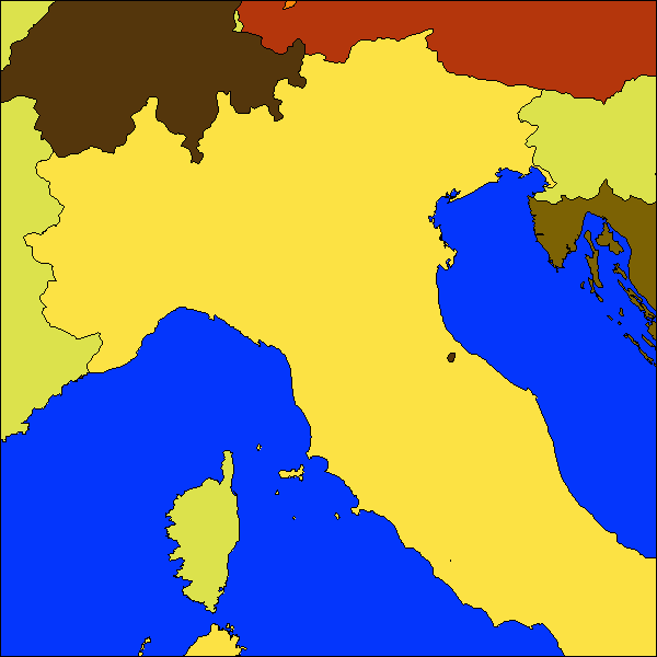
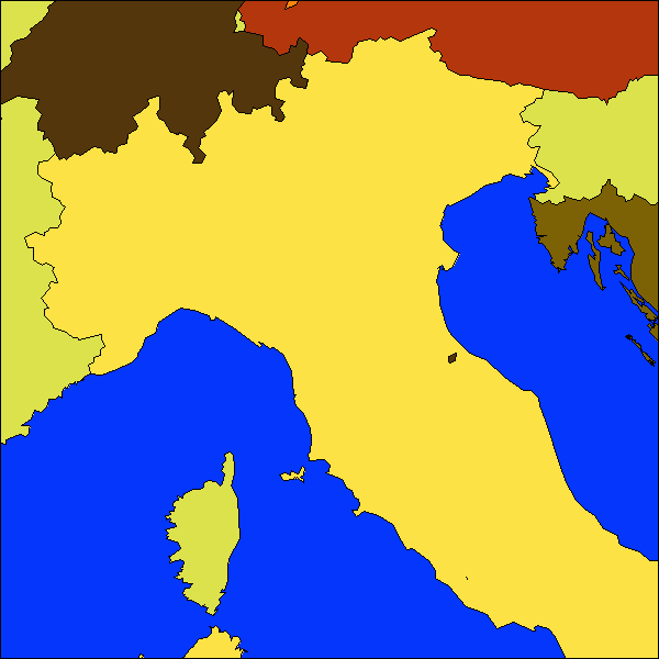
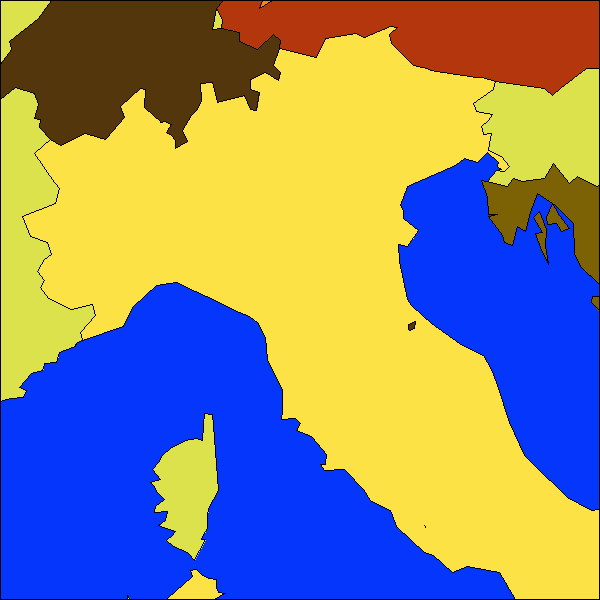
The images below show the same picture, using all shapefiles, as we did in the previous blog, but now showing these four countries, Italy, and parts of the surrounding countries. |
|
 |
|
 |
|
 |
|
 |
|
 |
|
 |
|
 |
|
 |
|
 |
|
 |
|
| (10). Empty | |
 |
|
 |
|
 |
|
 |
|
 |
|
Conclusion
Again thanks to commentor Alectora who suggested Eurostat, it is a nice set of four datasets in different scales. The 1:3 million version is excellent in most measures, but it is a pity that Vatican is displaced and the IJsselmeer in the Netherlands is omitted. And that some polygons are not valid...I still think a good and free shapefile of the world is still welcome.


Correct me if I'm wrong but I don't think you tested the gadm level 0 dataset? http://www.gadm.org/
ReplyDeleteI processed it, thanks for this!
ReplyDeleteHave you tried http://geocommons.com/overlays/33578. One has to register to download the data, however it is a bit better than thematic mapping dataset.
ReplyDelete